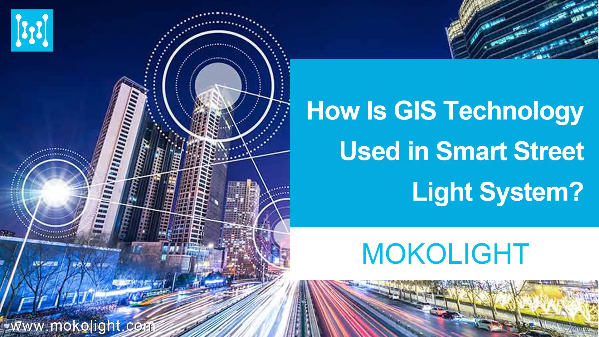
Como la velocidad de construir ciudades inteligentes incremento, control automático y la gestión de las instalaciones municipales se vuelve cada vez más necesaria. En el pasado, La técnica habitual para controlar las luces de la calle era usar un reloj de temporizador o manipular físicamente el interruptor. Las luces de la calle a veces no se pueden encender y apagar de manera consistente, y hay una falta de medios de detección correspondientes. Entonces la tecnología GIS se convierte en una forma de resolver este problema. Vamos a sumergirnos para descubrir cómo el SIG Luz de calle inteligente El sistema funciona!
¿Cómo se construye el sistema de luz street street SIG SMIL??
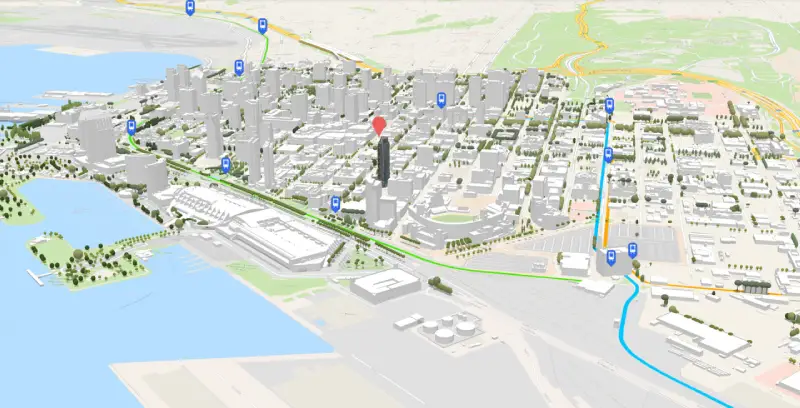
Por un lado, crear un Sistema de información geográfica automatizada Para las luces de la calle urbana utilizando la visualización GIS. Su contenido comprende la generación de gráficos de pérdida visual como información geográfica básica de ciudades., bloques, y distribución de alumbrado público. De este modo, Proporciona una plataforma de soporte para consultas visuales., visualización dinámica, y monitorización para la gestión del control del alumbrado público.
Por otro lado, crear un módulo de gestión para control central. El módulo central de control y gestión se basa en visualización GIS y una plataforma de operación LAN.. El módulo de gestión de control central puede proporcionar un conjunto de funciones de visualización dinámica basadas en GIS para visualizar el estado de las farolas.. Además, La base de datos dinámica se actualizará según la detección de información de luz en tiempo real.. Esto permite un seguimiento intuitivo de la información dinámica sobre las condiciones de iluminación a través de gráficos.. La consulta visual y la gestión de la base de datos de la base de datos de estado de iluminación también son fáciles de lograr con SIG.
¿Cómo funciona el sistema de luz street street de GIS SIG??
El sistema está compuesto por cuatro procedimientos: Percepción básica de hardware, comunicación de red, Gestión de la plataforma de servicio en la nube, y control terminal.
El Percepción básica de hardware Parte consiste principalmente en lámparas de calle, controladores, sensores, etcétera. Una vez conectado, Estos dispositivos de hardware terminal detectan el entorno circundante y el estado de la luz de la calle. Luego se comunican con la red de transmisión para recibir y transmitir información de control inteligente.
El red de comunicación Incluye métodos como PLC Power Network, Zigbee, 3G/GPRS, 6Lowpan, Rs232/485, y otros medios inalámbricos o cableados. Los datos transmitidos se almacenan en la base de datos de Internet de las cosas de Street Light, que integra datos de varios sensores terminales y permite la gestión de datos distribuidos y centralizados.
El Plataforma de gestión de servicios en la nube puede monitorear y enviar luces de la calle, así como administrar datos de operación y mantenimiento. Usando mapas SIG, La plataforma de administración de servicios en la nube puede localizar rápidamente varios dispositivos de detección. Siguiendo eso, puede llevar a cabo la recuperación de información, estadística, y gestión de equipos.
Para Terminales de control, Hay muchos tipos. Los gerentes pueden usarlos para enviar instrucciones de control a la plataforma en la nube para realizar varias funciones de las luces de la calle inteligente.
Que puede SIG Sistema inteligente de luz callejera?
En el capa de datos, El sistema puede recopilar varios tipos de datos. El conjunto de datos subyacente incluye datos geoespaciales básicos, datos de la instalación de iluminación urbana, y datos de gestión empresarial. En la base de datos geoespacial básica, Hay información sobre divisiones administrativas, redes de carretera, edificios, y, Si las condiciones lo permiten, datos de imagen de teledetección. La base de datos de las instalaciones de iluminación urbana incluye información espacial estática sobre estas instalaciones, Información de atributos sobre ellos, etc.. La base de datos de gestión empresarial almacena datos comerciales críticos, como las garantías de operación y mantenimiento del sistema., Libreros de equipos, y gestión del sistema.
En el capa intermedia, Los datos se procesan para el monitoreo en tiempo real. La capa intermedia consiste principalmente en una plataforma de información geográfica, GPRS escucha, y servicios e interfaces de monitoreo de video. A través de estos servicios e interfaces, Se pueden implementar empresas correspondientes. Simultáneamente, Proporciona los medios técnicos para llamadas de datos entre sistemas.
En el capa de presentación, El sistema puede realizar el control y la gestión. Esta capa es la interfaz de usuario del sistema de gestión integrada de la luz de la calle. Incluye el módulo básico de gestión de información para las luces de la calle, el módulo de operación SIG, el módulo de gestión de datos de monitoreo, el módulo de monitoreo de video, y el módulo de informe estadístico del libro mayor. No solo puede realizar operaciones de monitoreo tradicionales, Pero también puede visualizar datos de carreteras basados en el espacio y realizar operaciones espaciales de consulta y recuperación.
Conclusiones
En este pasaje, Hablamos sobre la composición del sistema Smart Street Street System GIS, Cómo funciona, y que puede lograr. Podemos crear un sistema de información geográfica automatizada y un módulo de administración para el control central con SIG. Y luego todo el proceso se terminará a través de la percepción básica del hardware, comunicación de red, Gestión de la plataforma de servicio en la nube, y control terminal. Las funciones de SIG están recopilando varios tipos de datos, escucha, y controlando para diferentes propósitos. Mientras se utiliza en sistemas de alumbrado público inteligentes, Definitivamente, los SIG pueden hacer más que simplemente localizar dónde están las cosas.!